Taguig gives motorists a way to check traffic and road conditions online
MANILA: Want to know how a storm is affecting roads in Taguig or even just the daily traffic situation? You can do that now in real-time and even online.
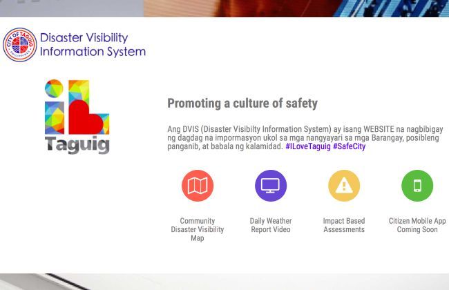
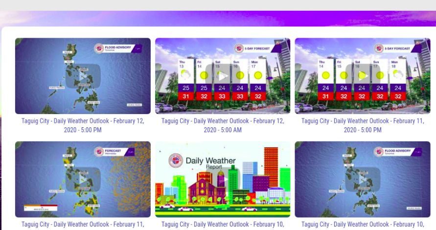
The city government of Taguig has launched a disaster visibility information system that provides real-time updates on weather conditions, storms, disasters, and other pertinent information affecting all 28 barangays within the city.
Called the TWMS (Taguig Weather Monitoring System), it is a first-of-its-kind technology in the country that gives round-the-clock live feeds from cameras across 100 locations in Taguig.
“This is a breakthrough in the country's disaster preparedness because it provides localized and area-specific updates and we are happy Taguig is part of this historic occasion The technology also allows us to monitor other things like the quality of the air. Pwede namin i-warn yung mga kababayan namin na may sakit kung sakali na hindi maganda ang air quality sa isang lugar (We can warn our citizens who are sick that the air quality in a certain area is not good)," said Mayor Lino Cayetano.
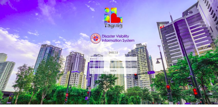
Some 100 cameras broadcast the feed they capture to https://dvis-taguig.com, a website that’s accessible to the public all day, every day.
“Right now, the website is available to everyone. We will have daily updates (from the) ‘I Love Taguig’ Facebook (page) and then within 30 to 60 days, I will ask the weather monitoring system of Taguig to be able to develop an application (which can be used by our residents). But right now, (anyone can just visit the website) to check or to go to ‘I Love Taguig’ Facebook,” added Cayetano.
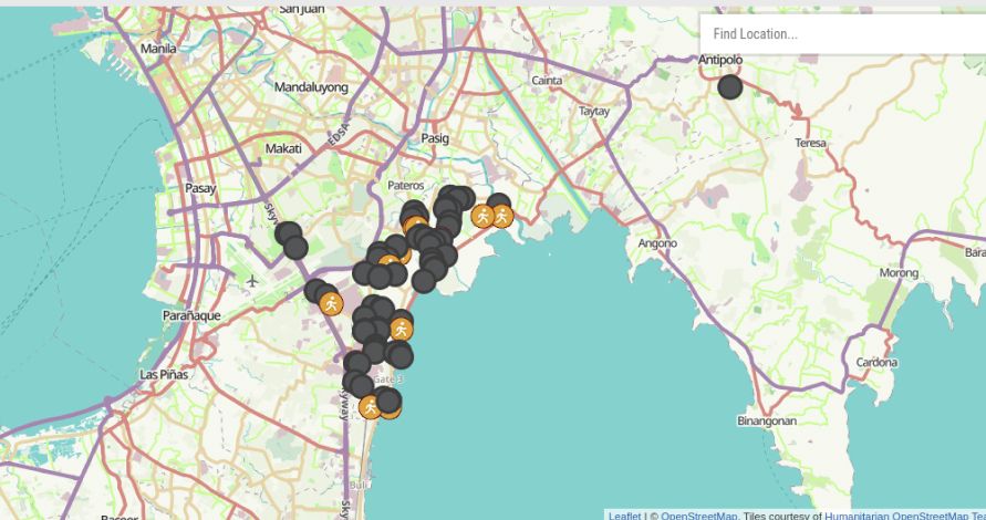
Aside from motorists, its citizens, and workers in Taguig, the system will also be available to national agencies such as the Philippine Atmospheric Geophysical and Astronomical Services Administration and Philippine Institute of Volcanology and Seismology. They all can monitor localized flood monitoring, hazard mapping, and even daily community weather updates.
TWMS is state of the art and can show the distance of the eye of a storm to a specific area and allows for accurate six-hour weather forecasts and weather reports for up to a 15-day period. Plus, it also has earthquake analytics which can show the exact distance of an earthquake's epicenter to a specific place in the city.
The mayor sees this system as a big step in promoting the culture of safety in the city of Taguig. “We think it is very important especially for school principals, village chiefs and heads of private sector offices. There are a lot of times when they have to decide for their constituents, they have to decide for their students, they have to decide for their employees. What we are doing is to empower them to decide based on the data acquired.”
Aside from that, Cayetano hopes that this will spur other cities in the country to see the benefits of a system like this versus the initial cost it will take to put it up. "In fact, what we want to do is to work with DILG (Department of the Interior and Local Government) so that after Taguig City has piloted this, we want to show that the amount to be spent is small compared to the benefits. It is really important that we have an ‘always ready’ approach when it comes to disasters. Hopefully, all our cities (in the country will) have localized a weather monitoring system,” he added.
A mobile app is already under development that will make TWMS accessible via iOS and Android devices, but no specific date has been announced.
The TWMS is but a small part of the local government’s effort in making Taguig a “smart city.”
Also Read: Traffic along Alabang to be rerouted this Feb. 16 – Here are the new routes
PIMS 2024
- Latest
- Popular
You might also be interested in
- News
- Featured Stories
- Latest
- Upcoming
- Popular
Latest Motorcycle Videos on Zigwheels

Motorcycle Articles From Carmudi
- journal
- advice
- insurance


